Intelli Software is the business partner of Virtual City Systems, one of the world's leading companies in digital twins, which produces products that enable the conversion, integration and publication of digital twin data in many open formats such as CityGML.
- Virtual City Systems (VCS) develops products that facilitate the management of urban uses and infrastructures within the concept of smart cities and enable the integration of these data, creating state-of-the-art 3D city models and digital twins.
- For the future of smart cities, we visualize geographical data such as cadastre, city planning and urban transformation in 3D using the features offered by VCS products, integrate them with external systems and facilitate the management of this data.
- With the high quality data and superior spatial visibility offered by 3D models, many problems that may be encountered in urban planning are prevented.
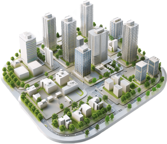
- 3D city models realistically depict urban assets, making it possible to view changes, preview them and simulate their effects.
- With the 3D city models and 3D geographic data infrastructure offered by VCS, many analyzes such as 3D solar potential analysis, visibility analysis, shadow analysis and traffic simulation can be performed.
Why VCS?
The high-quality information and robust spatial visibility that VCS offers, and the variety of uses it supports as a result, are being used effectively to solve many urban problems.
Analysis Capacity
Realistic and Detailed Models
Frequently Asked Questions
No, VCS is not a single product, but a comprehensive ecosystem where multiple products and services are integrated. These systems can be customized for different purposes.
With VCS; You can view vector data in formats such as GeoJSON, Shapefile, KML/KMZ, 3D models in formats such as CityGML, OBJ, raster data in GeoTIFF format and services such as WMS, TMS, WMTS.
Analyzes such as traffic simulation, visibility, shadow, 3D solar potential can be made.
Due to its versatile structure, Virtual City Systems offers wide usage opportunities in sectors such as municipalities and local governments, transportation, logistics and infrastructure, energy and environmental management, health and security, construction and real estate.