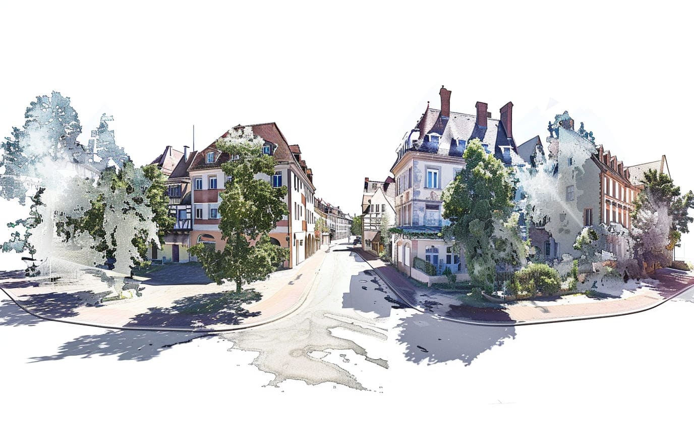
Visuterra is a web-based viewer that allows viewing and analyzing 360° panoramic images and Lidar point cloud data. It enables to manage data effectively by transferring real world data to digital environment.
- Thanks to the opportunities provided by Visuterra, users can make measurements on the data they upload, calculate areas, and perform various analyzes by comparing past and current data.
- By combining panoramic images and Lidar data, it offers users an interactive space experience.
- Visuterra allows creating an inventory system by viewing spatial data of open and closed areas.
- Visuterra; It offers its users a discovery experience beyond the real world by producing solutions that meet the needs of many different sectors such as urban planning, production, automotive, retail sales and cultural tourism.
Why Visuterra?
Interactive Venue Experience
Multi-Sector Applications
Frequently Asked Questions
Visuterra supports panoramic images and Lidar point cloud data collected from different devices.
You can easily upload your data to Visuterra through the upload interface offered by the platform.
Visuterra allows you to perform various analyzes such as measuring, area calculation, adding inventory, height profile, volume calculation on the data you upload.
No, Visuterra is a web-based platform and you do not need to download any special software. You can access it directly via your internet browser.